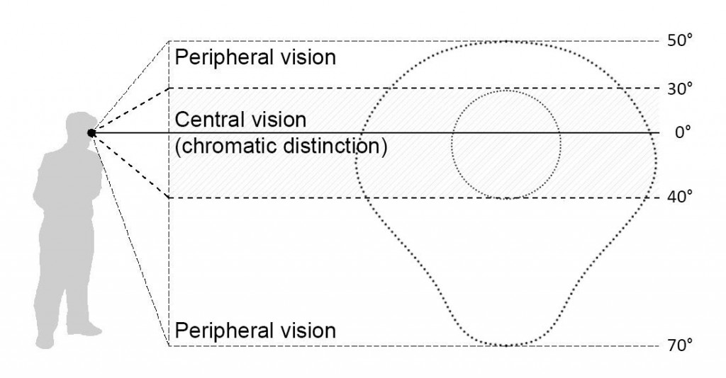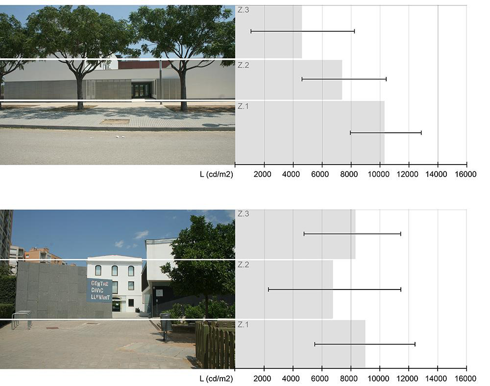
The appearance of a city is strongly tied to many aspects such as climate, culture, and sociological background. In cities with a prevalence of clear skies, one of the determining factors is the climatic condition, which defines a bright context where all elements appear significantly bright. To establish the luminosity of the urban scene and its components, an analysis of images taken in real environments is proposed, carried out using digital image processing software developed by the authors. The information contained in each pixel of a digital image is used to evaluate the distribution of light in the image. The images selected for evaluation represent an urban scene viewed by a permanent observer. In this situation, the scene can be divided into three areas with similar characteristics: pavement, sky, and facades. The developed software provides output data for the aforementioned areas, and the whole image consists of light data (mean, maximum, minimum, and standard deviation) convertible into luminance (cd/m²) if reference values are provided. The validity of the procedure is tested in this work and implemented on real images. After testing, the software proved to be user-friendly, and the results obtained in the examples showed a clear trend in their values. The implementation of the software suggests that a larger number of case studies would make it possible to establish a pattern in the diurnal distribution of urban scenes conceived as an addition of zones with different luminous appearance.
Authors: Judit López, Antonio Isalgué, Helena Coch